
AERIAL MAPPING
Drone Mapping
See the entire site in one current, high-resolution view. Aerial mapping helps teams document conditions, compare progress, and understand a property more efficiently.
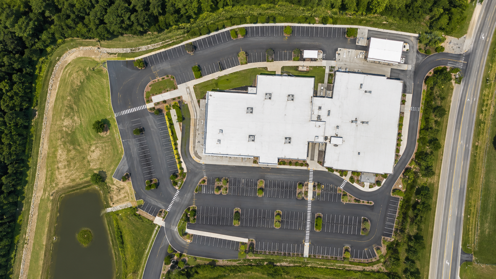
01
Orthomosaic Mapping
Planned automated flights capture overlapping imagery that can be processed into a detailed top-down site image.
- High-resolution orthomosaics
- Repeatable project extents
- Site-wide visual documentation
- GIS-friendly outputs when requested
- Progress comparison
02
3D Visualization
Oblique imagery can be processed into 3D visual products that add context beyond a flat aerial image.
- Building and site visualization
- Project documentation
- Stakeholder review
- Historical visual record
- Compatible export formats where appropriate
03
Measurement Context
Mapping products can support approximate measurements and informational analysis when the project does not require a licensed survey.
- Distance and area context
- Informational stockpile/volume analysis
- Surface visualization
- Planning reference
- Not for legal boundaries or licensed survey work
Summit mapping products are intended for documentation, planning, and informational use unless otherwise stated. They do not establish legal property boundaries or replace a licensed land survey.
START A PROJECT