
CONSTRUCTION
Construction Progress Documentation
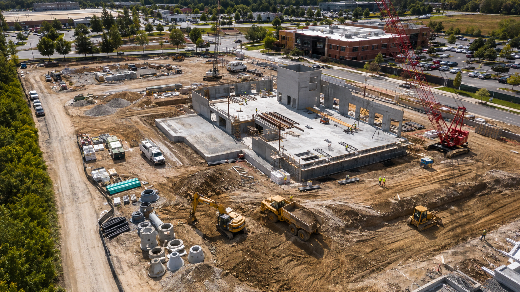
Keep your team current without another drive to the jobsite. Repeatable aerial documentation creates a clear visual record of progress, conditions, and project milestones.
01
Recurring Site Updates
Establish a repeatable flight plan and return weekly, biweekly, monthly, or at key milestones.
- High-resolution aerial photo set
- Short flyover video
- Repeat-angle progress views
- Updated orthomosaic when useful
- Dated digital project archive
02
Preconstruction Baseline
Create a visual record of site conditions before work begins, including adjacent improvements and access areas.
- Roads and access points
- Curbs and sidewalks
- Landscaping and neighboring improvements
- Existing structures and surfaces
- Staging and laydown areas
03
Project Communication
Use current aerial imagery to help owners and remote stakeholders understand site conditions with fewer unnecessary trips.
- Owner updates
- Internal project meetings
- Subcontractor coordination
- Milestone documentation
- Before-and-after comparisons
Construction imagery and mapping are provided for project documentation, planning, and informational use. They do not establish legal property boundaries or replace licensed surveying, engineering, or other regulated professional services.
START A PROJECT