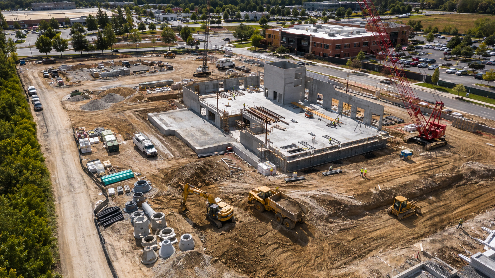
Construction Progress
Repeatable aerial documentation that keeps project teams informed without another drive to the site.
Explore construction progress →Aerial mapping, inspections, thermal imaging, and construction documentation that help contractors see what's happening without another trip to the site.
Focused aerial services designed around project visibility, documentation, inspections, and decision-making.
Repeatable aerial documentation that keeps project teams informed without another drive to the site.
Explore construction progress →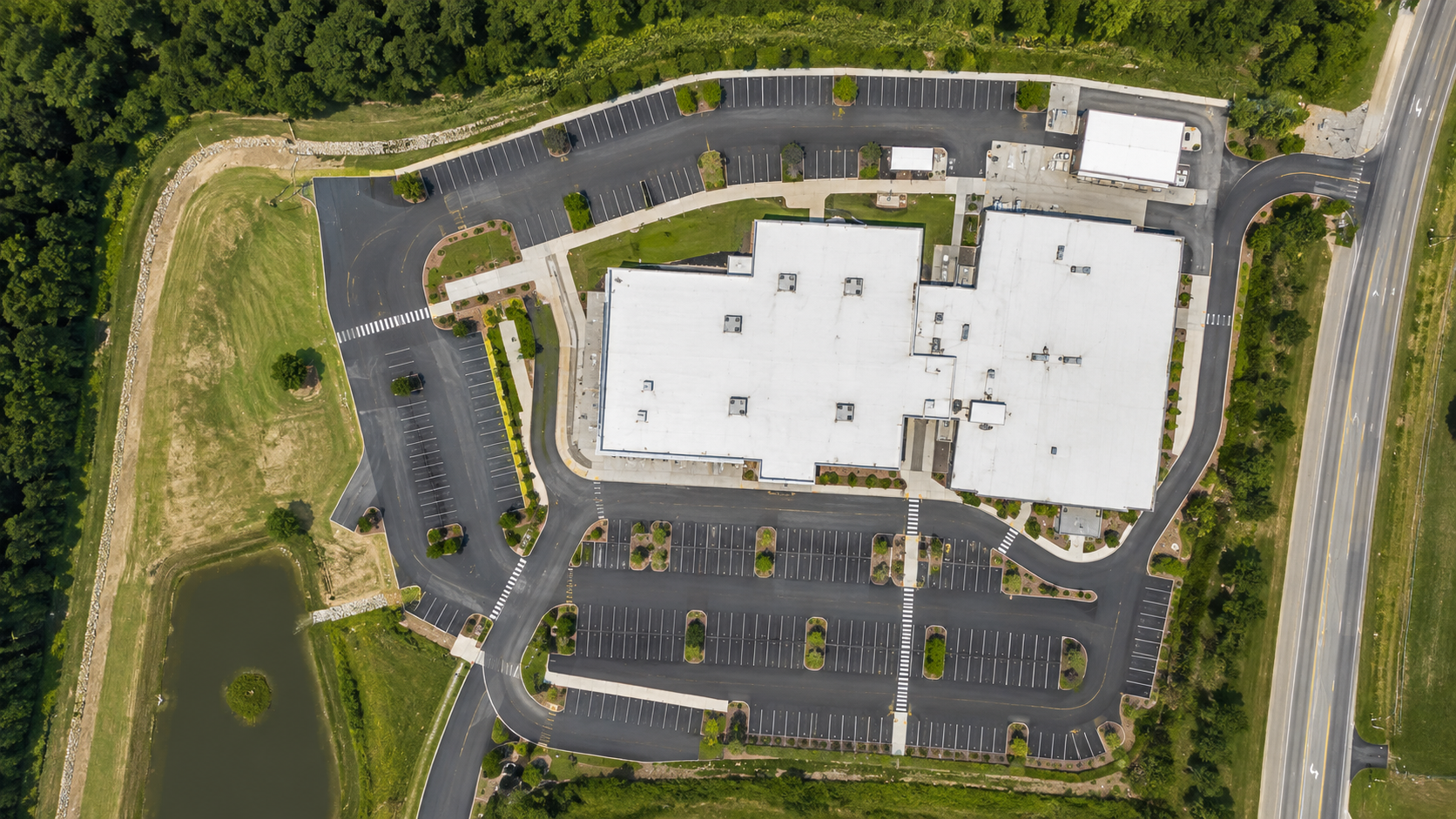
Orthomosaics, 3D visualization, and site data for planning, documentation, and progress tracking.
Explore mapping →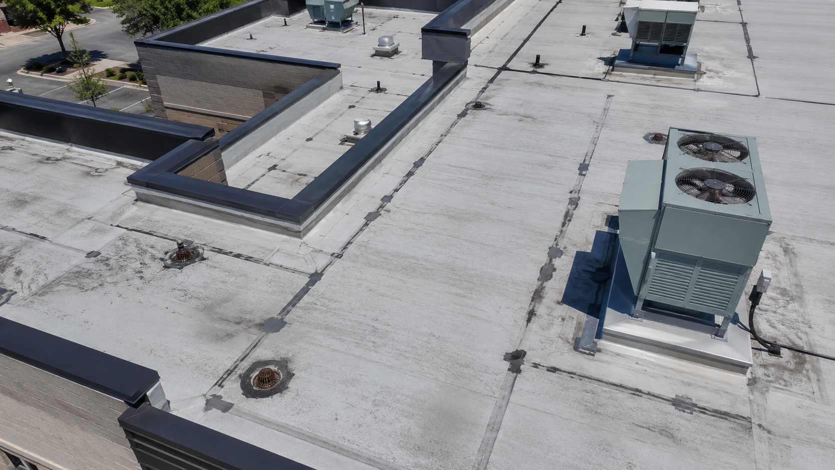
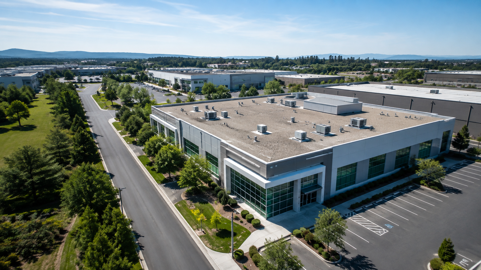
Detailed visual documentation of roofs, facilities, and hard-to-access areas without unnecessary climbing.
Explore inspections →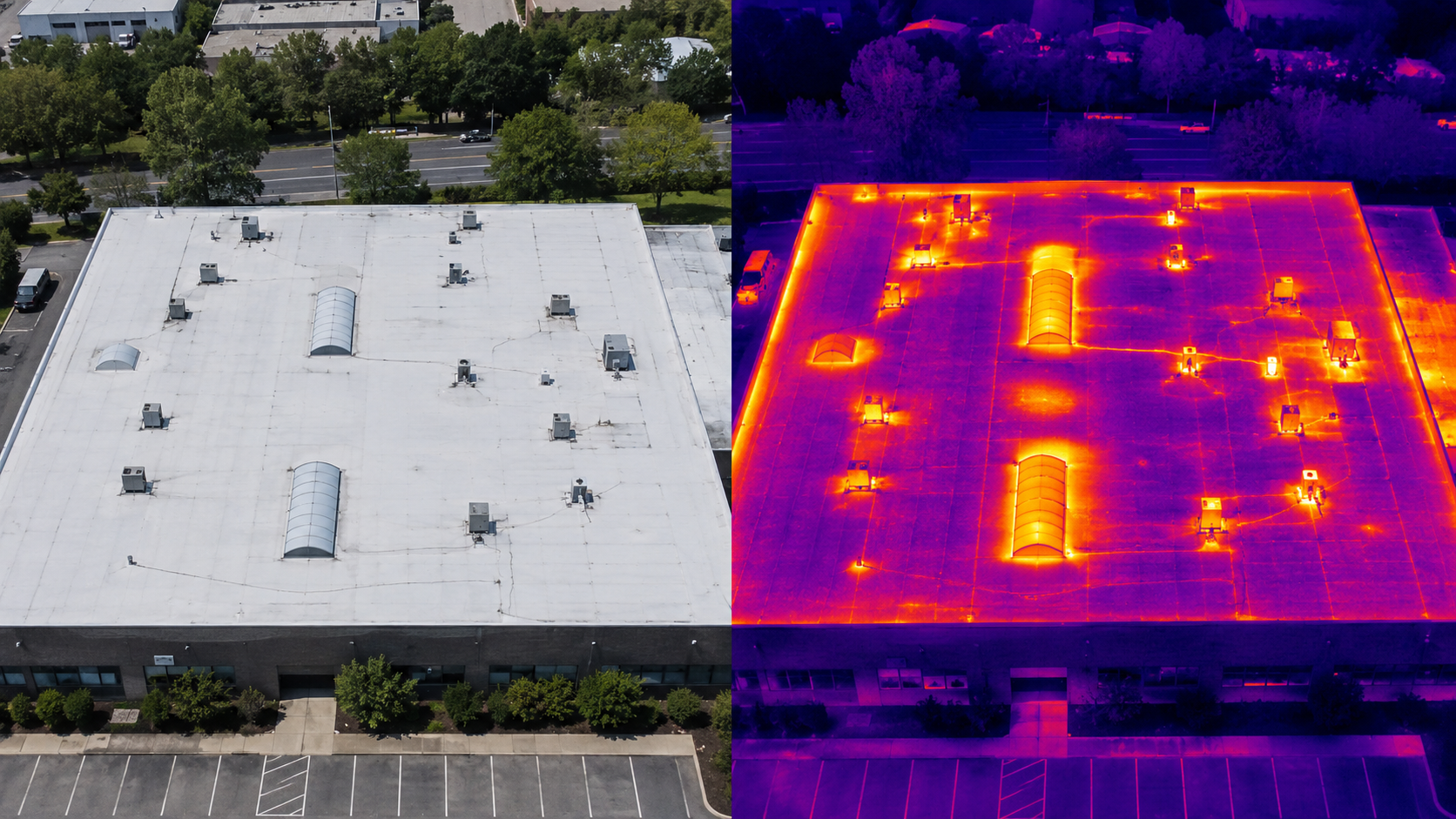
Aerial thermal documentation for roofs, buildings, solar assets, and equipment under suitable conditions.
Explore thermal imaging →Scheduled aerial documentation gives your team a consistent visual record of project conditions and progress from preconstruction through completion.
Share the location, objective, and what you need documented or inspected.
We review the site, airspace, conditions, and data requirements before capture.
Receive organized imagery, maps, thermal data, or reports based on the project.
Serving contractors, developers, property managers, roofing companies, and commercial property teams throughout the Twin Cities and surrounding Minnesota communities.